Written by Lucy Thompson, APXS Collaborator and Senior Research Scientist at the University of New Brunswick Earth planning date: Wednesday, June 18, 2025 Not only did our drive execute perfectly, Curiosity ended up in one of the safest, most stable parking spots of the whole mission. We often come into the start of planning hoping […]...
2 min read
Curiosity Blog, Sols 4575-4576: Perfect Parking Spot

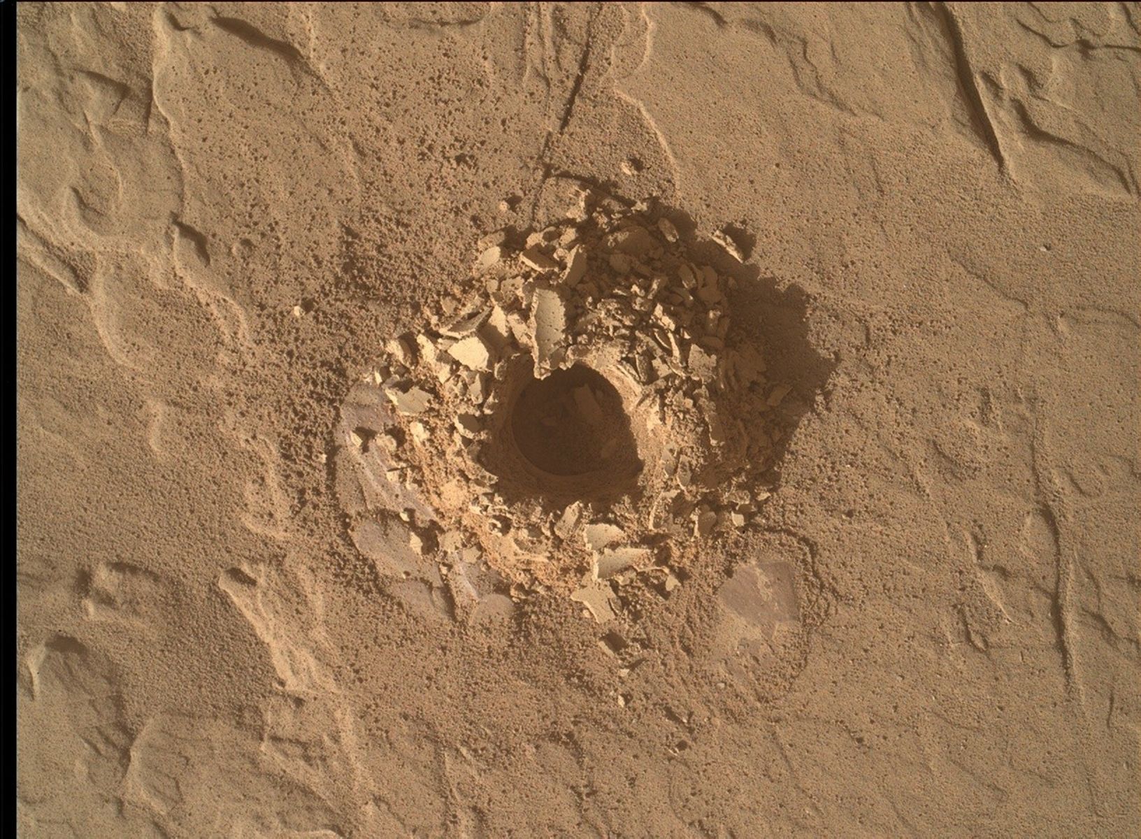
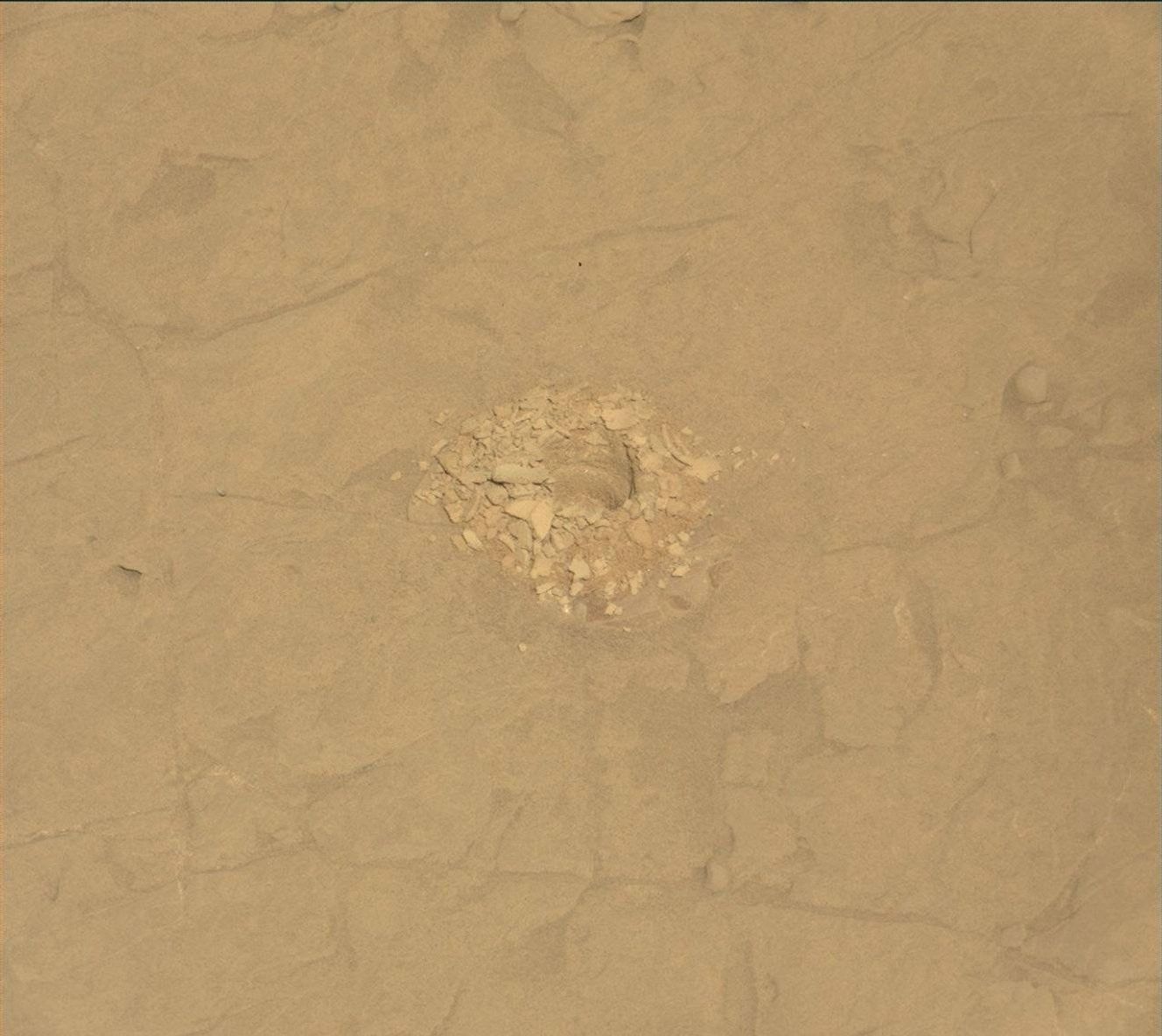
NASA’s Mars rover Curiosity acquired this image of interesting textures exposed in an outcrop at the base of the “Mishe Mokwa” butte, ahead of the rover, using its Chemistry & Camera (ChemCam) Remote Micro Imager (RMI). Curiosity captured the image on June 13, 2025 — Sol 4569, or Martian day 4,569 of the Mars Science Laboratory mission — at 17:53:55 UTC.
NASA/JPL-Caltech/LANL
Written by Lucy Thompson, APXS Collaborator and Senior Research Scientist at the University of New Brunswick
Earth planning date: Wednesday, June 18, 2025
Not only did our drive execute perfectly, Curiosity ended up in one of the safest, most stable parking spots of the whole mission. We often come into the start of planning hoping that all the wheels are safely on the ground, but the terrain on Mars is not always very cooperative. As the APXS strategic planner I was really hoping that the rover was stable enough to unstow the arm and place APXS on a rock — which it was! We are acquiring APXS and ChemCam compositional analyses and accompanying Mastcam and MAHLI imaging of a brushed, flat, typical bedrock target, “Tarija.” This allows us to track the chemistry of the bedrock that hosts the potential boxwork features that we are driving towards.
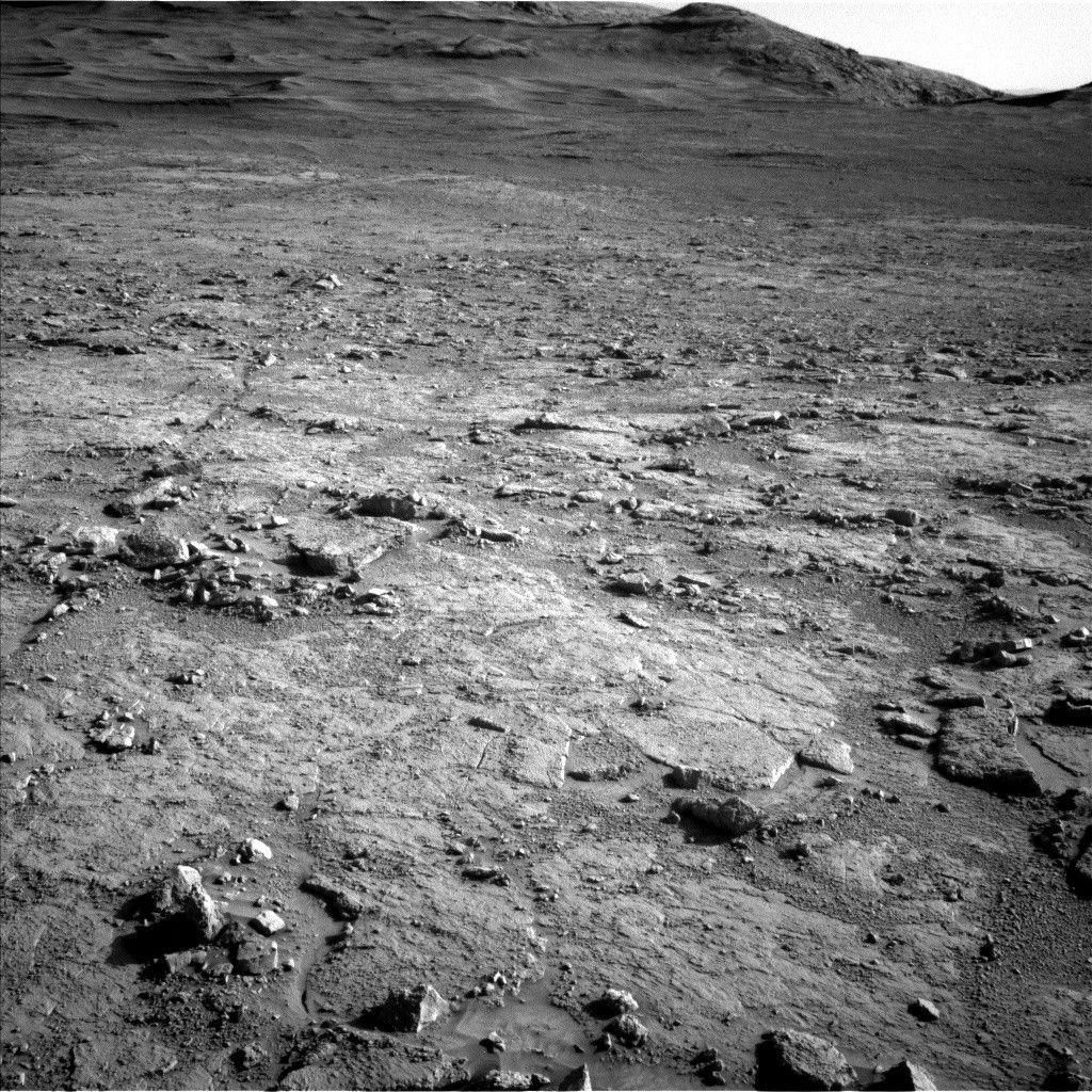
As well as composition, we continue to image the terrain around us to better understand the local and regional context. Mastcam will acquire mosaics of some linear ridges off to the north of our current location, as well as of a potential fracture fill just out in front of our current parking spot, “Laguna del Bayo.” ChemCam will image part of an interesting outcrop (“Mishe Mokwa”) that we have already observed (see the image associated with this blog).
Thanks to the relatively benign terrain, the engineers have planned a 54-meter drive (about 177 feet) to our next location. After that drive (hopefully) executes successfully, we have a series of untargeted science observations. MARDI will image the terrain beneath the wheels and ChemCam will pick a rock target autonomously from our new workspace and analyze its chemistry.
To track atmospheric and environmental fluctuations, we are acquiring a Mastcam tau to measure dust in the sky as well as a Navcam large dust-devil survey and suprahorizon movie. The plan is rounded, as always, with standard DAN, REMS, and RAD activities.
Share
Details
Last Updated
Jun 20, 2025