Written by Scott VanBommel, Planetary Scientist at Washington University in St. Louis Earth planning date: Monday, June 30, 2025 Our weekend drive placed Curiosity exactly where we had hoped: on lighter-toned, resistant bedrock we have been eyeing for close study. Curiosity’s workspace tosol did not contain any targets suitable for DRT. After a detailed discussion […]...
2 min read
Curiosity Blog, Sols 4586-4587: Straight Drive, Strategic Science

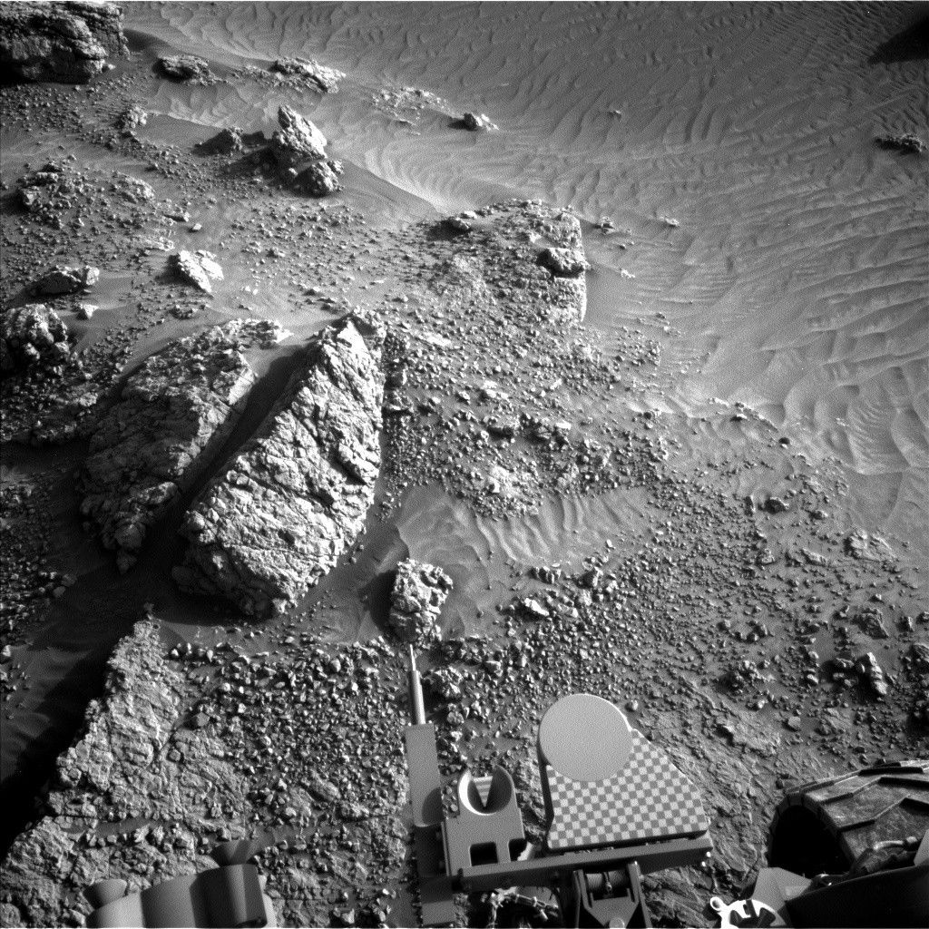
NASA’s Mars rover Curiosity acquired this image using its Right Navigation Camera on June 28, 2025 — Sol 4583, or Martian day 4,583 of the Mars Science Laboratory mission — at 03:20:22 UTC.
NASA/JPL-Caltech
Written by Scott VanBommel, Planetary Scientist at Washington University in St. Louis
Earth planning date: Monday, June 30, 2025
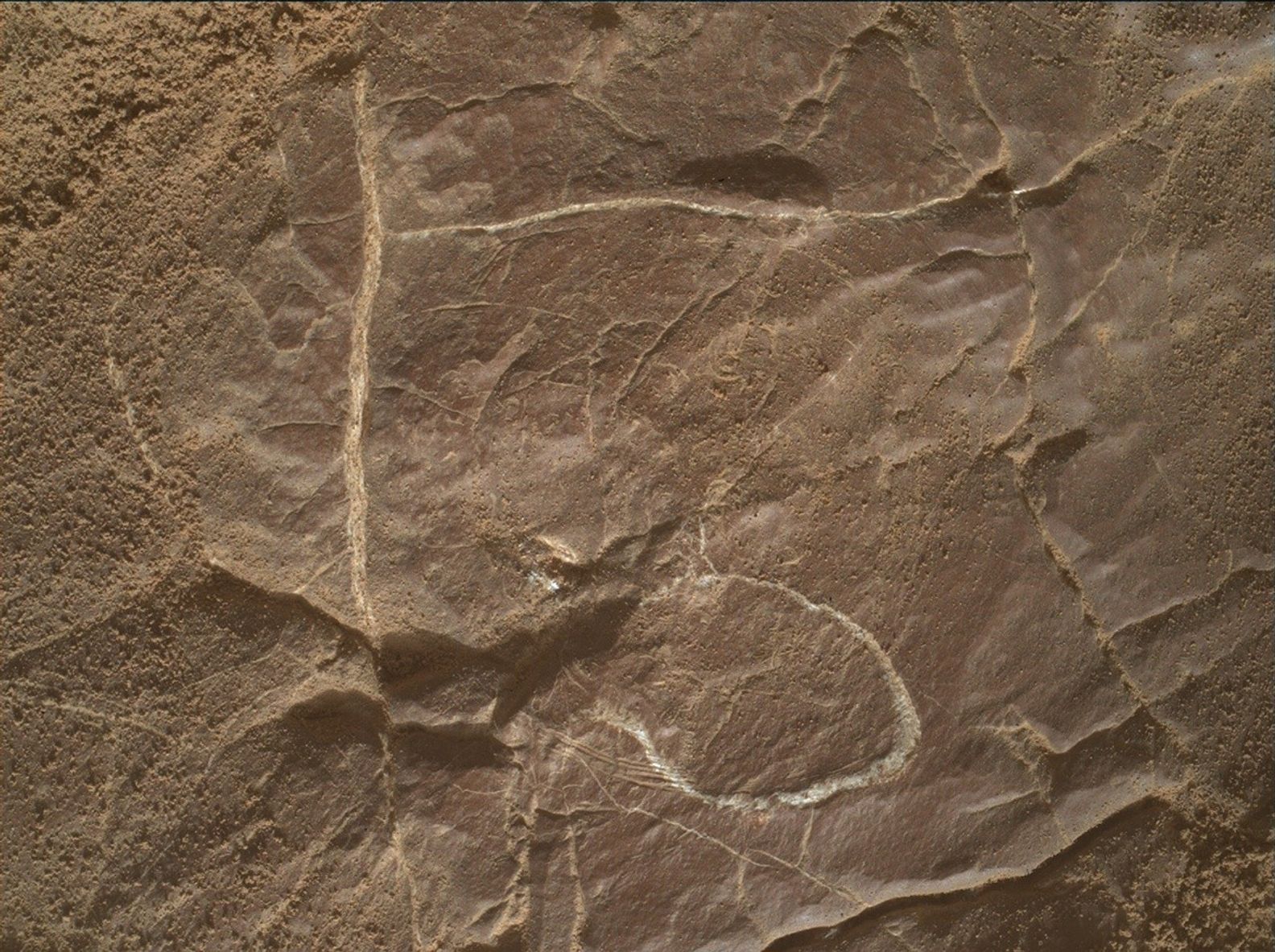
Our weekend drive placed Curiosity exactly where we had hoped: on lighter-toned, resistant bedrock we have been eyeing for close study. Curiosity’s workspace tosol did not contain any targets suitable for DRT. After a detailed discussion by the team, weighing science not only in tosol’s plan but the holiday-shifted sols ahead, the decision was made to perform contact science at the current workspace and then drive in the second sol of the plan.
Normally, drives in the second sol of a two-sol plan are uncommon, as we require information on the ground to assess in advance of the next sol’s planning. At present however, the current “Mars time” is quite favorable, enabling Curiosity’s team to operate within “nominal sols” and receive the necessary data in time for Wednesday’s one-sol plan. DAN kicked off the first sol of the plan with a passive measurement, complemented by another in the afternoon and two more on the second sol. Arm activities focused on placing MAHLI and APXS on “La Paz” and “Playa Agua de Luna,” two lighter-toned, laminated rocks.
The rest of the first sol was rounded out with ChemCam LIBS analyses on “La Joya” followed by further LIBS analyses on “La Vega” on the second sol, once Curiosity’s arm was out of the way of the laser. ChemCam and Mastcam additionally imaged “Mishe Mokwa” prior to the nearly straight drive of about 20 meters (about 66 feet). Environmental monitoring activities, imaging of the CheMin inlet cover, and a SAM EBT activity rounded out Curiosity’s efforts on the second sol.
Share
Details
Last Updated
Jul 01, 2025